Details
Brecon Beacons (Bannau Brycheiniog) Walks

Nestled in the heart of Wales, the Brecon Beacons National Park is a haven for outdoor enthusiasts, offering a diverse range of landscapes, from verdant valleys to rugged peaks. Exploring the Brecon Beacons on foot provides a chance to immerse oneself in this stunning natural playground, with a plethora of walking trails to suit all abilities and interests. Whether you’re seeking panoramic vistas, cascading waterfalls, or historic landmarks, the Brecon Beacons deliver.

Best Walks in Brecon Beacons

The Brecon Beacons boast a wealth of outstanding walks, each offering its own unique appeal. Among the must-do hikes is the ascent of Pen y Fan, the highest peak in southern Britain, which rewards climbers with breathtaking views across the park and beyond. For those seeking a more leisurely stroll, the Four Falls Trail takes walkers on a mesmerizing journey past four stunning waterfalls, including the majestic Sgwd Yr Eira. Additionally, the picturesque Usk Reservoir Circular offers a tranquil lakeside walk amidst serene countryside. These are just a few examples of the exceptional walks that showcase the beauty of the Brecon Beacons.

Where to Go Walking in the Brecon Beacons

The Brecon Beacons National Park offers an extensive network of walking trails, catering to all interests and abilities. From gentle riverside strolls to challenging mountain hikes, there’s something for everyone to enjoy. The Black Mountains, located in the eastern part of the park, provide excellent opportunities for hill walking, with panoramic views of the surrounding countryside. Meanwhile, the Fforest Fawr Geopark in the west is home to ancient woodlands, limestone caves, and intriguing geological formations. Whether you prefer high peaks or tranquil valleys, the Brecon Beacons have a multitude of locations to explore on foot.

Can You Walk Anywhere in the Brecon Beacons

While much of the Brecon Beacons National Park is open access land, there are some restrictions on where you can walk freely. Certain areas may be privately owned or designated as nature reserves, with specific rules and regulations in place. It’s important to respect local guidelines and landowners’ rights while enjoying the park’s trails. However, with proper planning and adherence to designated paths, there are countless opportunities to explore the natural beauty of the Brecon Beacons on foot.

Circular Walks in the Brecon Beacons

Circular walks are a popular choice for exploring the Brecon Beacons, offering the chance to experience diverse scenery without retracing your steps. The Brecon Beacons Circuit, encompassing Pen y Fan and Corn Du, provides a challenging yet rewarding circular route with stunning mountain views. For a more relaxed option, the Llangorse Lake Circular offers a scenic stroll around the largest natural lake in South Wales, with opportunities for birdwatching and picnicking along the way. Whether you’re seeking adventure or tranquility, circular walks in the Brecon Beacons offer an immersive way to experience this enchanting landscape.

?
Export
More Details

Mynydd Llangorse Walk

Details
Mynydd Llangorse Walk
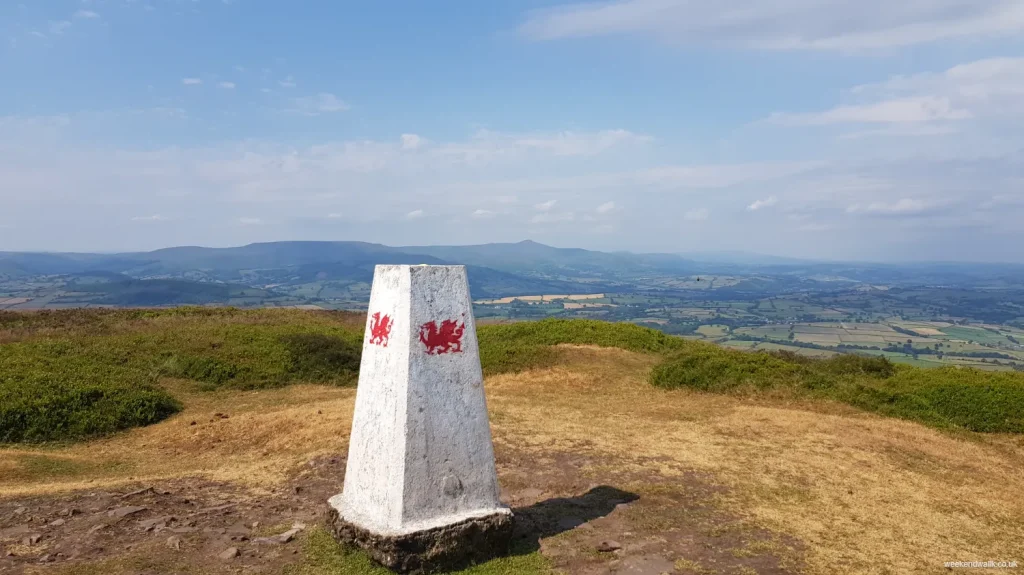
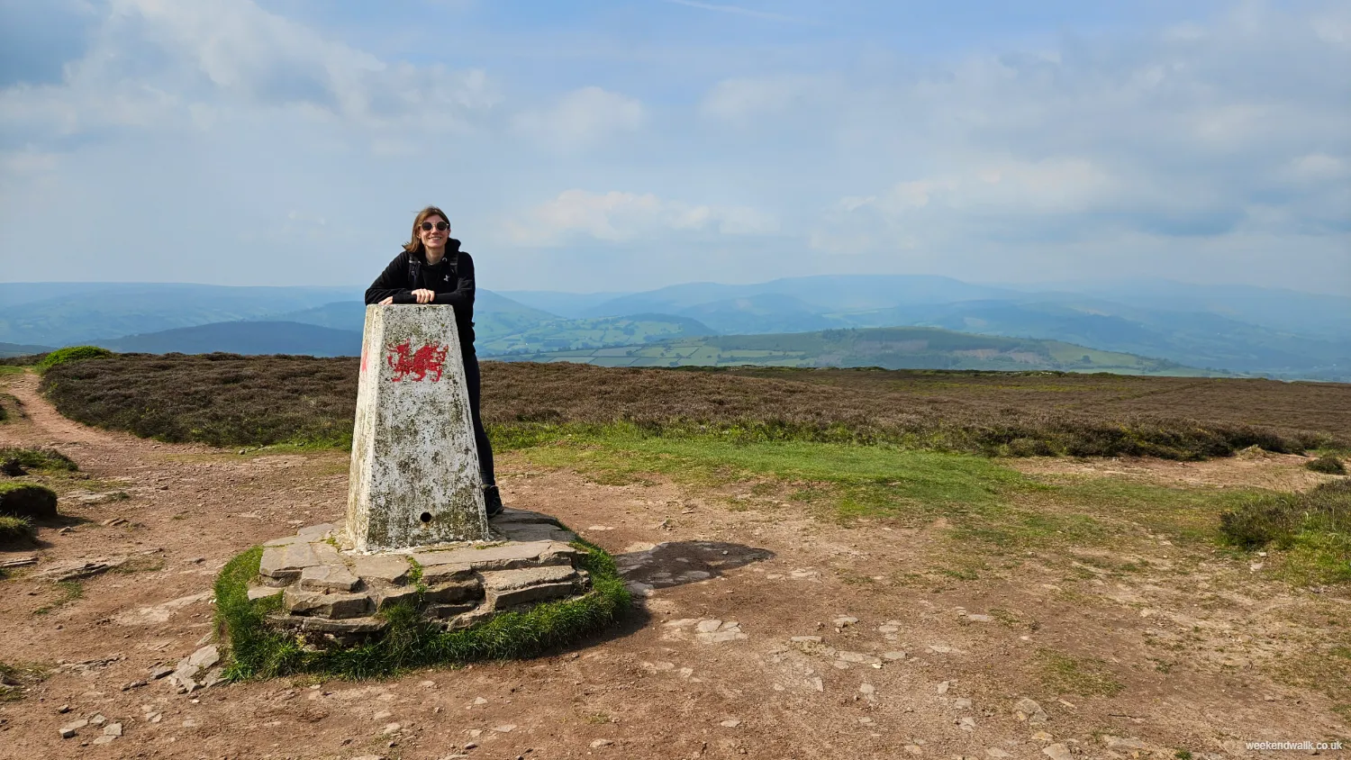
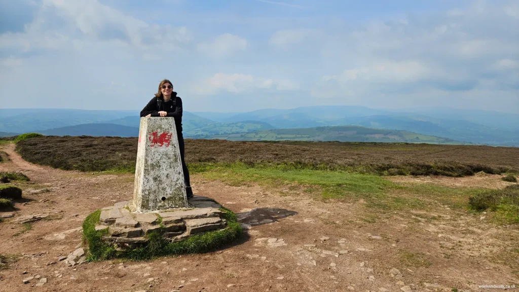
trig point on mynydd llangorse walk

Mynydd Llangorse Walking Route

Starting from the village of Llangorse, you’ll notice the landscape gradually changing as you proceed on this walk—gentle fields give way to more undulating terrain, with the Brecon Beacons subtly rising in the distance.

The path begins quite easily, leading you along quiet country lanes that are bordered by hedgerows. You might catch the occasional glimpse of Llangorse Lake, glinting in the sunlight. As you continue, the route becomes more challenging, with the track narrowing and beginning its steady ascent. This is where the real hike begins.

As you climb higher, the terrain starts to open up, offering wider views of the surrounding landscape. You'll notice the patchwork of fields below, the neat lines of stone walls, and the distant outline of Pen y Fan, the highest peak in southern Britain.

The path can be a bit rocky and uneven in places, so it’s a good idea to watch your step, especially if the ground is wet. But every now and then, take a moment to look back—the views just keep getting better.

Eventually, you’ll reach the summit of Mynydd Llangorse, marked by a trig point. Standing here, you’ll feel like you’re on top of the world. The panoramic views are stunning: to the north, you can see the Black Mountains; to the west, the peaks of the central Brecon Beacons; and to the south, the Usk Valley stretches out towards the horizon.

The walk down is much easier, and as you return to the village, you'll probably find yourself already thinking about when you can come back to explore more of this beautiful part of Wales.

?
Export
Details
Route Type
Circular
Difficulty
Moderate
Under Foot
Mostly Good Paths
Car Parking
Free Parking
Key Features
Circular Walk<br />Lakes<br />Mountains<br />Roads<br />Summit Route<br />Wildflowers<br />Wildlife<br />
Summits
  • Mynydd Llangorse
Hill Bagging
Trig Points<br />
Refreshments & Facilities

Llangorse Village

More Details

Pen y Gadair Fawr Walk via Mynydd du Forest

Details
Pen y Gadair Fawr Walk via Mynydd du Forest
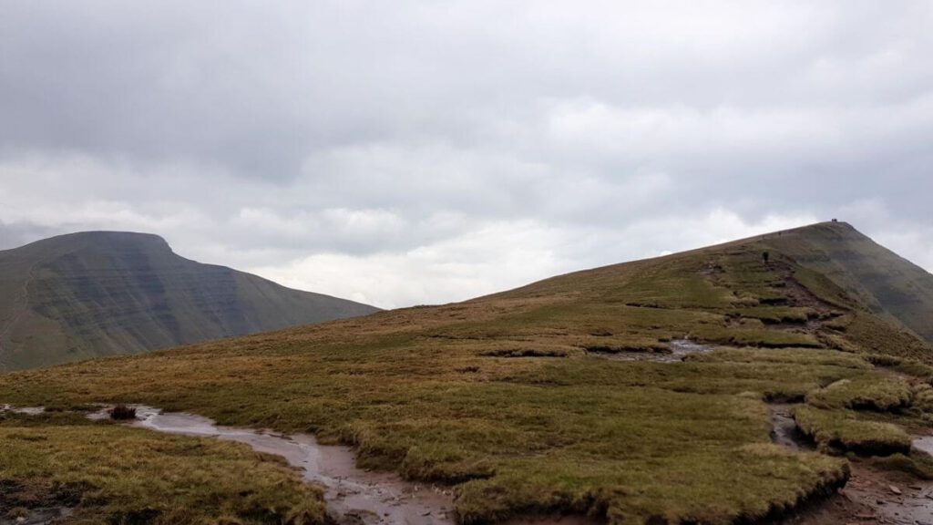
mynydd du forest on pen y gadair fawr walk

Pen y Gadair Fawr Walking Route

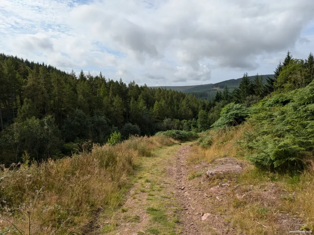
Starting at the Pont Cadwgan car park, you’ll find a well-marked path heading up through the forest on the left hand side of the car park.

The walk kicks off by heading along a path through Mynydd Du forest before heading up Pen y Gadair Fawr, a peak that reaches 800 meters. The ascent is steady but manageable, and you’ll find plenty of spots to stop and catch your breath while soaking in the views, including a lovely spot by a stream.

When you reach the summit of Pen y Gadair Fawr, the panoramic views are fantastic. You can see for miles around, taking in the beauty of the Brecon Beacons and beyond. It’s a great place to pause, take some photos, and enjoy the fresh mountain air.

From Pen y Gadair Fawr, you’ll continue your hike by heading towards Pen Twyn Mawr and Pen Gwyllt Meirch. The route here can be a bit rugged, so watch your footing.

The descent takes you through Mynydd Du Forest. The forest paths are a nice change of pace and provide a cool, shaded walk back to the car park.

?
Export
Details
Route Type
Circular
Difficulty
Moderate
Under Foot
Mixed Paths
Car Parking
Free Parking
Key Features
Circular Walk<br />Forests & Woodlands<br />Mountains<br />Rivers<br />Summit Route<br />Wildflowers<br />Wildlife<br />
Summits
  • Pen y Gadair Fawr
Refreshments & Facilities

None

More Details

Fan Fawr & Fan Frynych Walk

Details
Fan Fawr & Fan Frynych Walk
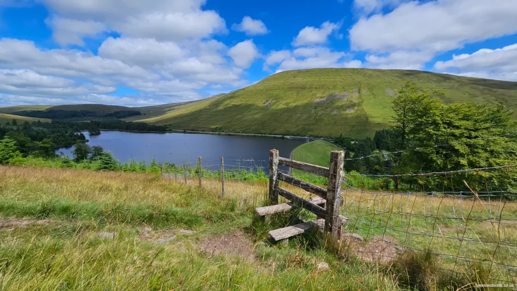
stile and countryside on fan fawr & fan frynych walk

Fan Fawr & Fan Frynych Circular Walk

If you're up for a challenging hike, the walk up Fan Frynych and Fan Fawr in the Brecon Beacons is much tougher than walking up Pen-y-Fan from the same starting point.

You first tackle Fan Frynych, which stands at 629 meters. The climb is steep and can be tough, but the views of Pen-y-Fan and the surrounding hills are absolutely worth it.

Once you've caught your breath and soaked in the scenery, you push on to Fan Fawr. This peak is even higher, reaching 734 meters, and the ascent is no joke. It's a tough climb with rugged terrain, but once you reach the top, the panoramic views are simply breathtaking.

This hike is definitely demanding, but for those who love a challenge and spectacular views, it’s an unforgettable experience.

Personally, I wouldn't head up Fan Fawr on this route in bad weather as the paths are steep and slippery.

?
Export
Details
Route Type
Circular
Difficulty
Hard
Under Foot
Mostly Natural
Car Parking
Ticketed Parking
Key Features
Circular Walk<br />Mountains<br />Roads<br />Summit Route<br />Wildflowers<br />
Summits
  • Fan Fawr
  • Fan Frynych
  • Craig Cerrig-gleisiad
Hill Bagging
Trig Points<br />Nuttals<br />
More Details

Pen-y-Fan & Cribyn Circular Walk

Details
Pen-y-Fan & Cribyn Circular Walk
Ascent up Pen y Fan

Pen y Fan & Cribyn Circular Walk from Cwn Gwdi Car Park

If you're looking for an epic hike in the Brecon Beacons, this Pen y Fan and Cribyn circular walk from Cwm Gwdi Car Park is a must-do.

You start at the Cwm Gwdi car park, where you can take a deep breath of fresh mountain air and prepare for an adventure. The trail begins with a steady climb, winding its way up through beautiful, rolling landscapes. As you ascend, the views start to open up, giving you a sneak peek of the incredible scenery to come.

Your first big challenge is Pen y Fan, the highest peak in South Wales at 886 meters. It's a tough climb, but when you reach the summit, the 360-degree views are absolutely worth it. On a clear day, you can see for miles!

After soaking in the stunning vistas from Pen y Fan, you head down and then up again to Cribyn, which stands at 795 meters. The ascent to Cribyn is steep and can be challenging, but it's a rewarding climb with equally impressive views.

Once you've taken in the sights from Cribyn, the path gradually descends, looping back towards Cwm Gwdi. The circular route allows you to enjoy different perspectives and scenery on the way back down.

Overall, this hike is a fantastic mix of challenging climbs and breathtaking landscapes, perfect for anyone who loves being out in nature and is up for a bit of a challenge. It's a great way to spend a day in the mountains, with plenty of opportunities to take photos and create lasting memories.

?
Export
Details
Route Type
Circular
Difficulty
Moderate
Under Foot
Good Paths
Car Parking
Free Parking
Key Features
Circular Walk<br />Mountains<br />National Trust<br />Summit Route<br />Wildflowers<br />Wildlife<br />
Summits
  • Pen y Fan
  • Cribyn
Hill Bagging
Nuttals<br />
More Info

For an alternative and perhaps even tougher walk, try this alternative route: Pen y Fan, Cribyn, Fan y Big & Bwich-Y-Ddwyallt walk.

More Details

Waun Fach Walk

Details
Waun Fach Walk

Waun Fach Circular Walk via Dragons Back

Today we're gearing up for a hike up Waun Fach via Castell Dinas and Dragons Back (or Y Grib in Welsh). It's a bit of a trek, but trust me, the views are so worth it.

Starting off from the trailhead, we make our way towards Castell Dinas, an ancient hillfort perched atop a rugged hill. The climb up there gets the heart pumping, but once we reach the top, it's like stepping back in time. You can almost feel the history in the air as you look out over the rolling hills and valleys below.

From Castell Dinas, we follow the ridge line along Dragons Back. It's this narrow, rocky ridge that kinda looks like, well, a dragon's back. The path can be a bit precarious in places, but the adrenaline rush is all part of the fun.

As we traverse Dragons Back, the views just keep getting better. On one side, you've got sweeping vistas of the Brecon Beacons across to Pen-y-Fan, and on the other, lush green valleys stretching as far as the eye can see.

Finally, we reach the summit of Waun Fach, the highest peak in the Black Mountains, which doesn't really live up to the journey. The views on this walk are all before and after its highest point.

Retracing our steps back to the trailhead, it's been a challenging but unforgettable adventure, and as we make our way back, we're already planning our next hike in this breathtaking corner of Wales.

?
Export
Details
Route Type
Circular
Difficulty
Moderate
Under Foot
Mostly Natural
Car Parking
Ticketed Parking
Key Features
Circular Walk<br />Cultural/Historical Interest<br />Mountains<br />National Trail<br />Pubs on Route<br />Summit Route<br />Wildflowers<br />Wildlife<br />
Summits
  • Castell Dinas
  • Pen y Grib
  • Bwlch Bach a'r Grib
  • Y Grib (Dragons Back)
  • Waun Fach
  • Pen Trumau
Points of Interest
  • Castell Dinas
Hill Bagging
Nuttals<br />Hewitts<br />
Refreshments & Facilities
  • Dinas Castle Inn
More Info

Waun Fach & Dragons Back Car Park

The best place to park for the Waun Fach & Dragons Back walk is the Dinas Castel Inn car park, which is located at the start point of this walk. There is an honesty box for paying to use the car park so take a few coins with you. The car park for Waun Fach & Dragons Back can be very busy as it is a popular spot for many hiking routes (such as Mynydd Troed), so get there early to secure a spot.

More Details

Llanthony Priory Walk

Details
Llanthony Priory Walk
Llanthony Priory

Llanthony Priory Walk - Circular

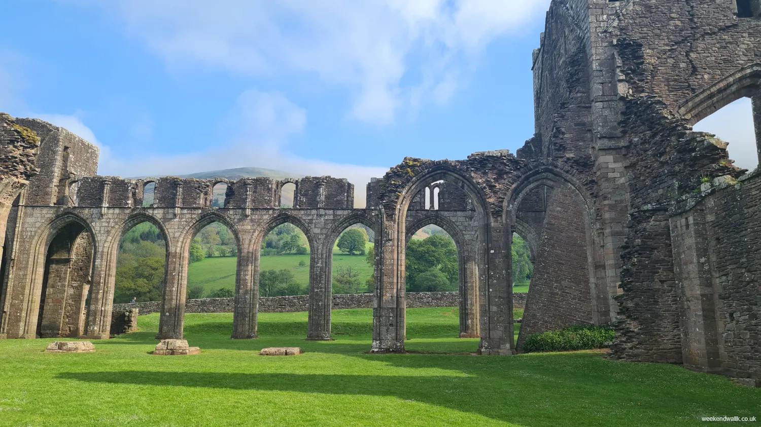
So, starting off from Llanthony Priory, the walk kicks off with a steady climb towards Hatterrall Hill. The priory ruins kind of set the mood—quiet and mysterious, you know? Like you're stepping back in time.

As we make our way up, the views start peeking through the trees, giving us a taste of what's to come. And man, when you hit the top of Hatterrall Hill, it's like a whole new world opens up. You can see for miles, just you and the hills.

Heading down into Llanthony Wood, it's all about those dappled sunbeams and ancient trees. It's like something out of a fairy tale, especially when you stumble upon those hidden clearings.

And finally, we circle back to Llanthony Priory, where time feels like it's standing still. It's a nice full circle, you know? Reminds you how timeless and beautiful this place really is.

?
Export
Details
Route Type
Circular
Difficulty
Moderate
Under Foot
Mostly Good Paths
Car Parking
Free Parking
Key Features
Circular Walk<br />Cultural/Historical Interest<br />Forests & Woodlands<br />Summit Route<br />Wildflowers<br />Wildlife<br />
Summits
  • Hatterrall Hill
Points of Interest
  • Llanthony Priory
Refreshments & Facilities
  • Cafe at Llanthony Priory
More Details

Mynydd Troed Walk

Details
Mynydd Troed Walk
Mynydd Troed Trig Point with Pen Y Fan in Distance

Mynydd Troed Circular Walk

Mynydd Troed is a prominent hill in the Brecon Beacons National Park in Wales, offering stunning views and a relatively easy climb for hikers of all levels.

Starting from the Dinas Castel Inn car park in Pengenffordd, the walk begins with a gentle ascent through fields and woodlands, gradually leading to more open terrain as you approach the summit. Along the way, you may encounter grazing sheep and wild ponies, adding to the picturesque scenery.

Mynydd Troed Summit

Once at the summit of Mynydd Troed, the panoramic views stretch across the surrounding countryside, including nearby peaks like Pen y Fan and the Black Mountains.

It's an ideal outing for nature lovers and those seeking a rewarding hike without too much difficulty. The way back is a little less interesting than the way up to the summit, so you may even like to explore some of the other possible routes of Mynydd Troed.

?
Export
Details
Route Type
Circular
Difficulty
Moderate
Under Foot
Mostly Natural
Car Parking
Ticketed Parking
Key Features
Circular Walk<br />Mountains<br />Pubs on Route<br />Roads<br />Summit Route<br />Wildflowers<br />Wildlife<br />
Summits
  • Mynydd Troed - 609 m (1,998 ft)
Refreshments & Facilities
  • Castel Dinas Inn
More Info

Mynydd Troed Car Park

The best place to park for the Mynydd Troed walk is the Dinas Castel Inn car park, which is located at the start point of this walk. There is an honesty box for paying to use the car park so take a few coins with you. The car park for Mynydd Troed can be very busy as it is a popular spot for many hiking routes (such as walking Waun Fach & Dragons Back), so get there early to secure a spot.

More Details

Hay Bluff Walk

Details
Hay Bluff Walk
Hay Bluff Trig Point

Hay Bluff Circular Walk

Hay Bluff is a prominent peak on the edge of the Black Mountains in Wales. At just over 10 km in length, and with a fairly steep ascent of over 400 metres, this Hay Bluff walk is a good challenge for all, without being too daunting. On this walk, you'll enjoy stunning views of the surrounding countryside and the rugged beauty of its landscape.

Throughout the walk, you will almost certainly encounter wild ponies grazing on the grassy slopes, adding to the scenic charm of the area.

Hay Bluff & Lord Hereford's Knob

Starting at Hay Bluff car park, this walk starts by heading south west and and sweeping around and up Lord Hereford's Knob (or Twmpa in Welsh). Following this route, you can see Pen-Y-Fan in the distance past Lord Hereford's Knob, which makes for a stunning view.

The steep climb up Lord Hereford's Knob is the toughest part of this walk, but once you reach the summit, you're rewarded with breathtaking panoramic views stretching out in every direction. You can see for miles across the Welsh and English countryside, with the peaks of the Brecon Beacons rising in the distance. Lord Hereford's Knob summit is 690 m (2,260 ft), making this the highest point on this walk.

Hay Bluff Summit

From Lord Hereford's Knob, it's a lot easier on the knees, with a slight decline before a steadier climb back up to the summit of Hay Bluff. The Hay Bluff summit is 677 m (2,221 ft), slightly less than Lord Hereford's Knob. The path meanders through heather-covered moorland and rocky outcrops, offering hikers a chance to immerse themselves in the untamed beauty of the Black Mountains.

You'll be able to see the Hay Bluff Car Park from the summit, and there is a steep direct path back down if you're done for the day. However, this Hay Bluff walking route instead joins Offa's Dyke path for a much more pleasant steady walk back to the car park.

Overall, this Hay Bluff and Lord Hereford's Knob walk is a rewarding experience, offering a chance to explore some of the most picturesque scenery that Wales has to offer.

Hay Bluff Car Park

Hay Bluff Car Park is located right by Hay Bluff itself. Getting there from Hay-on-Wye is quite straightforward, however the road is single track for large parts. If coming from Hay-on-Wye, it's only a few miles, but if you're coming from Abergavenny, it's a long stretch of single tracked roads.


?
Export
Details
Route Type
Circular
Difficulty
Moderate
Under Foot
Mostly Natural
Car Parking
Free Parking
Key Features
Circular Walk<br />Mountains<br />National Trail<br />Summit Route<br />Wildflowers<br />Wildlife<br />
Summits
  • Hay Bluff - 677 m (2,221 ft)
  • Lord Hereford's Knobb - 690 m (2,260 ft)


Points of Interest
  • Hay Bluff Trig Point
Hill Bagging
Trig Points<br />Nuttals<br />Hewitts<br />
Refreshments & Facilities
  • None
More Details

The Blorenge Circular Walk

Details
The Blorenge Circular Walk
start point blorenge walk

With a steep decline and a couple of steady inclines, this is a great and moderately difficult walking route of The Blorenge.

This Blorenge walk starts from Keepers Pond (or Pen-Ffordd-Goch Pond). One of two beautiful ponds you'll see on this walk.

The first section is straightforward, with mostly good paths. But after a fairly easy climb to the summit, you will be presented with a steep decline that is tough on the knees. Once done, it's a steady but steep incline back through beautiful countryside and a final stretch of road walking back to the start point.

?
Export
Details
Route Type
Circular
Difficulty
Moderate
Under Foot
Mixed Paths
Car Parking
Free Parking
Key Features
Circular Walk<br />Forests & Woodlands<br />Mountains<br />Summit Route<br />Wildflowers<br />Wildlife<br />
Summits
  • The Blorenge
Points of Interest
  • The Blorenge
  • Keepers Pond (or Pen-Ffordd-Goch Pond)
Hill Bagging
Trig Points<br />
More Details

Pen-y-Fan, Cribyn, Fan-y-Big & Bwich-Y-Ddwyallt Circular Walk

Details
Pen-y-Fan, Cribyn, Fan-y-Big & Bwich-Y-Ddwyallt Circular Walk

Pen-y-Fan, Cribyn, Fan-y-Big & Bwich-Y-Ddwyallt Circular Walk — Description

A challenging 12 mile circular walk from Blaen-Y-Glyn to Pen-Y-Fan via Bwich-Y-Ddwyallt, Fan-Y-Big, Cribyn and Corn Du. You can expect three particularly steep climbs (and descents!) along the way, making this a particularly difficult route to take if you're planning a walk up Pen-y-Fan.

However, as well as Pen-y-Fan, you do get to visit the summits of Bwich-Y-Ddwyallt, Fan-Y-Big, Cribyn and Corn Du, so it's well worth it. On a nice day, you'll be rewarded by stunning views of the Brecon Beacons (Bannau Brycheiniog). But even when there's low cloud and mist, there's still lots to enjoy.

Starting from Blaen-Y-Glynn car park, you head straight up the steep path next to the waterfalls by the entrance to the car park. This path follows the ridge along Craig-Y-Fan-Ddu and Craig-Fan-Las to Bwich-Y-Ddwyallt.

From here it’s a pretty straightforward route to follow from one peak to the next. Firstly, from Bwich-Y-Ddwayalt to Fan-Y-Big with a peak of 719m. Enjoy the view, have some coffee and prepare for the steep descent to around 600m followed by an even steeper climb to Cribyn, peaking at 795m.

Cribyn provides stunning views across to Pen-Y-Fan and out to Brecon and the Welsh countryside. The views of Pen-Y-Fan are all the more imposing on a cloudy day when the peak of the mountain comes in and out of view as the clouds sweep across the summit.

The paths on this walk are often rocky and you should expect muddy areas, especially after rainy weather and in winter.

?
Export
Details
Route Type
Circular
Difficulty
Hard
Under Foot
Mostly Natural
Car Parking
Free Parking
Summits
  • Craig y Fan Ddu — 683 m
  • Bwlch y Ddwyallt — 754 m
  • Craig Cwareli — 730 m
  • Fan y Big — 719 m
  • Cribyn — 795 m
  • Pen y Fan — 886 m
  • Corn Du — 876 m
  • Craig-Gwaun-Taf — 826 m
  • Rhiw yr Ysgyfarnog — 736 m
  • Cefn Cul — 740 m
Points of Interest
  • Blaen-Y-Glyn Waterfalls — Quaint waterfalls near the starting point.
  • Lower Neuadd Reservoir 
  • Torpantau/Brecon Station & Brecon Steam Railway​ — Northernmost station on the Brecon Mountain Railway.
Hill Bagging
Trig Points<br />Marilyns<br />Nuttals<br />Hewitts<br />Trail 100<br />
Refreshments & Facilities

None

More Info

For a shorter walk, try this Pen y Fan and Cribyn Circular.

More Details